National Hurricane Center - Eastern Pacific Region

Central Pacific Hurricane Center - Central Pacific Region


Current Conditions - Eastern/Central Pacific Region

tab Eastern/Central Pacific tab tab Atlantic tab
tab
Eastern Pacific TC Activity
Central Pacific TC Activity
Current Conditions   |   Graphical Tropical Weather Outlook

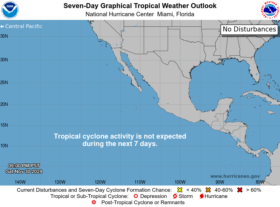
Eastern Pacific Graphical Tropical Weather Outlook

Eastern Pacific Graphical Tropical Weather Outlook

This product is updated at approximately 4 AM, 10 AM, 4 PM, and 10 PM PST from May 15 to November 30. Special outlooks may be issued as conditions warrant.

Archived Outlooks

Eastern Pacific Tropical Weather Outlook (Text)

Tropical Weather Outlook
NWS National Hurricane Center Miami FL
1100 AM PDT Tue Aug 25 2026

For the eastern and central North Pacific east of 180 longitude:

Active Systems:
The National Hurricane Center is issuing advisories on Tropical 
Storm Lala, located several hundred miles north of Pearl and Hermes 
Atoll, on Tropical Storm Iselle, located several hundred miles 
west of the southern tip of the Baja California Peninsula, and on 
Tropical Storm Julio, located well west-southwest of the southern 
tip of Baja California Peninsula.  

Central East Pacific:
A tropical wave located well to the south of southern Mexico is 
producing a large area of showers and thunderstorms. This system 
has become become better organized since yesterday, and 
environmental conditions appear favorable for further development. 
A tropical depression is expected to form in a few days while it 
moves generally west-northwestward at 10 to 15 mph, well offshore 
of Mexico.
* Formation chance through 48 hours...medium...40 percent.
* Formation chance through 7 days...high...90 percent.

Western East Pacific:
A trough of low pressure located well to the east-southeast of the 
Hawaiian Islands is producing some disorganized showers and 
thunderstorms. An area of low pressure is forecast to form along the 
trough during the next couple of days, and environmental conditions 
appear conducive for some gradual development thereafter. A tropical 
depression is likely to form during the latter part of the week or 
early this weekend while the system drifts northeastward, then 
turns to the west-northwest.
* Formation chance through 48 hours...low...30 percent.
* Formation chance through 7 days...high...70 percent.

Well Offshore of Southern Mexico:
An area of low pressure could form well offshore of Central America 
late this week or this weekend. Environmental conditions should
support some gradual development of this system, and a tropical 
depression could form late this weekend or early next week while it 
moves westward to west-northwestward at 10 to 15 mph well offshore 
of southern Mexico.
* Formation chance through 48 hours...low...near 0 percent.
* Formation chance through 7 days...medium...50 percent.

Central Pacific:
An area of low pressure could form well south of the Hawaiian 
Islands late this week.  Some gradual development is possible by 
the weekend into early next week while the system moves slowly to 
the west or west-northwest, well south-southwest of the Hawaiian 
Islands.
* Formation chance through 48 hours...low...near 0 percent.
* Formation chance through 7 days...low...20 percent.

$$
Forecaster Blake

Full text at NHC

Click for AtlanticClick for Central Pacific
Eastern Pacific Map
Eastern Pacific Map
EPAC Live Map with Discussion GIS data:  .shp


Images and Forecasts Courtesy of the National Hurricane Center